


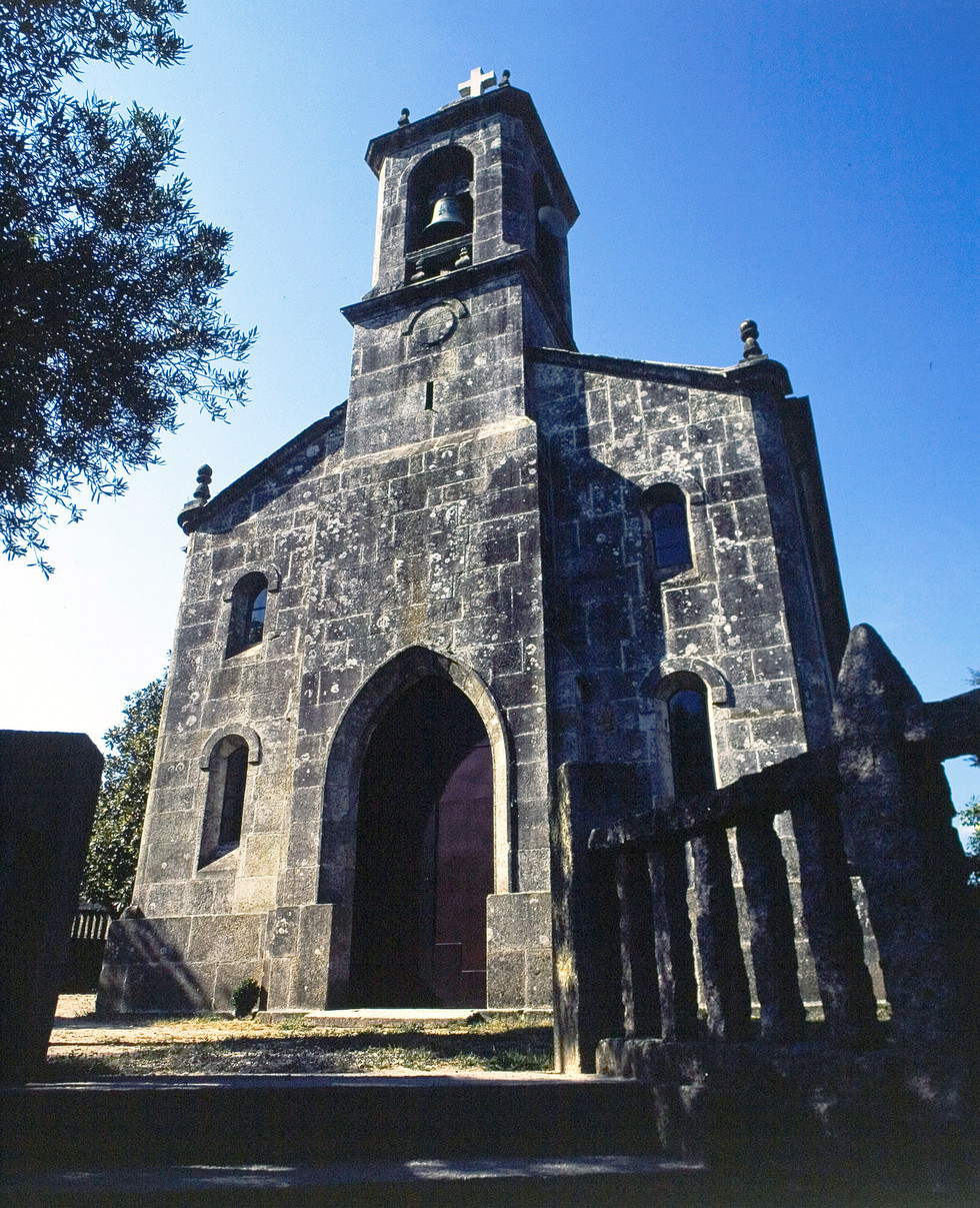
Santa Baia Church, Mos
The Portuguese Way
Stage: O Porriño-Redondela
This stage takes us to the municipality of Redondela. Pine and eucalyptus woods are an important feature of this section leading to the Ria of Vigo.
O Porriño- Mos
After leaving O Porriño, the route soon reaches As Angustias Chapel. It runs along the N-550 road, making it especially important to be on the lookout for vehicles (we can take the way that diverts us to the right to avoid traffic). The Louro River can be heard nearby but is hidden from view. Leaving behind the Amieiro Longo neighbourhood, we come to A Rúa, once the municipal capital of Mos.
O Porriño - Mos
Mos- O Souto
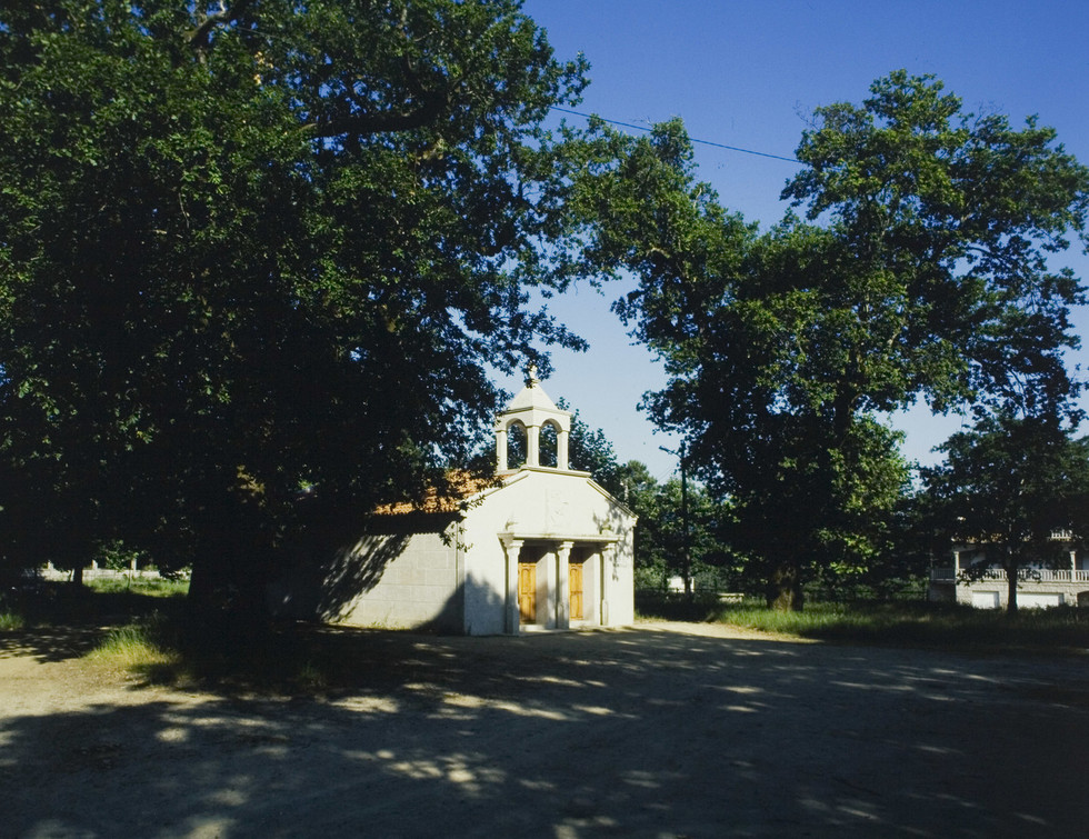
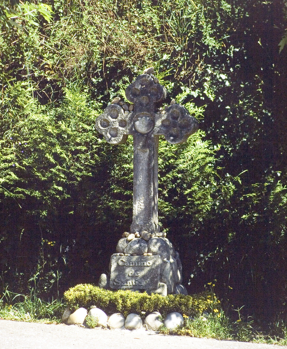
A stone cross with the inscription ‘Camino de Santiago’ marks the start of Os Cabaleiros Street, which leads to a cross monument of the same name. At O Enxertado, with the valley to the east, there is a slight climb up to Santiaguiño de Anta Chapel, a simple monument surrounded by a lovely carballeira (oak wood).
A Roman milestone (1 Roman mile = 1,480 metres) which once formed part of Via XIX– linking Braga and Astorga, as mentioned earlier–guides the way to the municipality of Redondela. We soon reach Vilar de Infesta. Pine and eucalyptus woods are an important feature of this stretch of the route. This section ends at the legendary Chan das Pipas.
Mos - O Souto
O Souto- Redondela
Saxamonde, Quintela and O Muro mark the way to Redondela. The route enters town at Ponteareas Square. The pilgrim hostel is located on another lovely square, Ribadavia, the end of this section.