


Stage: Pontevedra-Caldas de Reis
The Portuguese Way
Stage: Pontevedra-Caldas de Reis
From this point on, it is necessary to pay close attention to signs, as the route meanders and encounters a number of other paths, with the N-550 a constant presence and a new high-speed rail line that has altered the landscape.
Pontevedra- Santa María de Alba
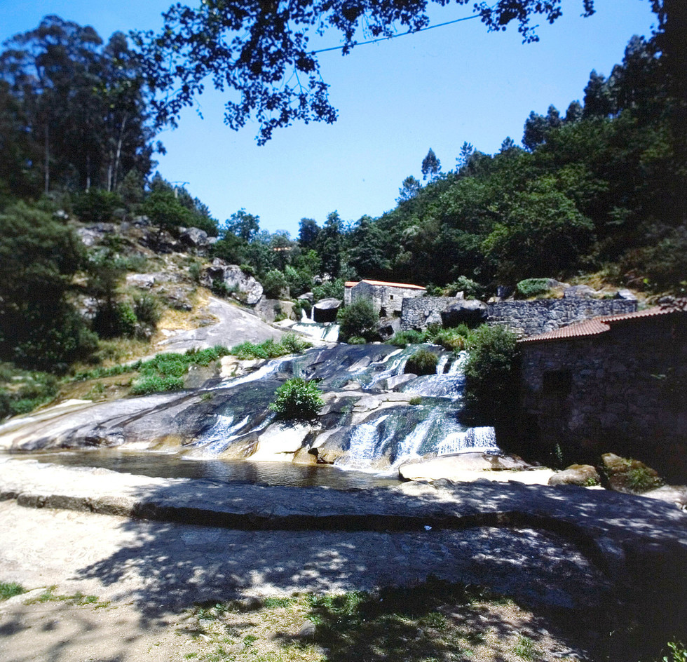
The route leaves Pontevedra via A Santiña Street, after crossing the Lérez River on O Burgo Bridge. It runs beside a large wetland known as A Xunqueira de Alba. After passing between the rail line and the Granda River, it climbs up to Pontecabras and Santa María de Alba Church and parsonage. Archbishop of Santiago Diego Gelmírez made a stop in Guxilde on his way from Braga to Compostela.
Pontevedra - Santa María de Alba
Santa María de Alba- A Cancela
After passing San Caetano Chapel, we come to the leafy woods of Reirís and Lombo da Maceira. A small stone bridge over a stream known as O Rego do Cárcere leads to the municipality of Barro. From San Mauro, the route continues to San Mamede da Portela.
Santa María de Alba - A Cancela
A Cancela- Albergue de Briallos
After crossing the bridge over the Areal River, the route leads pilgrims into Valbón amidst large stone houses. Three interesting stone crosses line the way, one of them near Amonisa House. Another boasts a carving of St. James the Pilgrim looking north, towards Compostela, on its shaft. A third cross, the solitary Soutelo, completes the triad of these genuine sculptures created to mark crossroads. From this point on, it is necessary to pay close attention to signs, as the route meanders and encounters a number of other paths, with the N-550 a constant presence and a new high-speed rail line that has altered the landscape. A Seca (municipality of Barro) and the parish of Briallos (municipality of Portas) lead to the municipal area of Caldas de Reis.
A Cancela - Albergue de Briallos
Albergue de Briallos- Caldas de Reis
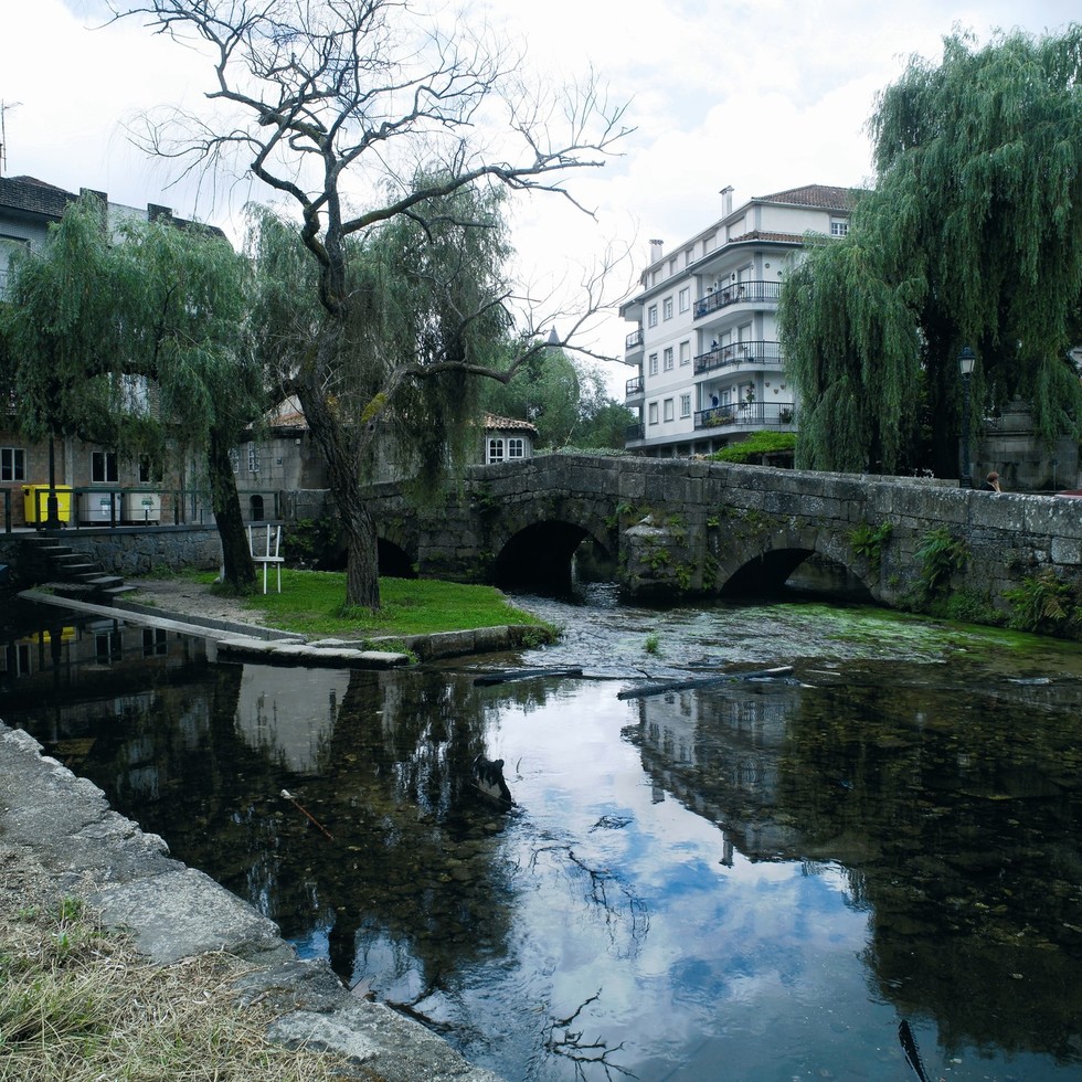
The route alternates between short sections of trail, dirt tracks and paved paths. We come to the lovely Tivo, almost on the doorstep of Caldas de Reis, where walkers face the final stretch of this stage. After passing Santa María Church, the route enters Caldas, a spa town, the Aquae Celenis mentioned in what is known as the Antonine Itinerary–a 3rd-century document recording the routes of the Roman Empire. The Umia and Bermaña rivers flow through the area.
The route follows Santa Marta and Ferrería streets, then crosses the bridge over the Umia, which leads to the hot spring to which the town has owed its name since Roman times. The route continues along Real Street and crosses another bridge over the Bermaña River, this one medieval and extremely charming. San Roque Chapel, at the end of the street of the same name–which connects to the N-550 road–marks the end of this stage.