


O Cebreiro - Triacastela
The French Way
- O Cebreiro
- Liñares
- Hospital da Condesa
- Padornelo
- Fonfría
- Biduedo
- Triacastela
- San Xil
- Aguiada
- Sarria
- Barbadelo
- Ferreiros
- Portomarín
- Gonzar
- Vendas de Narón
- A Eirexe
- Lestedo
- Palas de Rei
- San Xiao do Camiño
- O Leboreiro
- Melide
- Boente
- Ribadiso
- Arzúa
- A Salceda
- Santa Irene
- Arca, O Pino
- A Lavacolla
- Monte do Gozo
- Santiago
- O Cebreiro
- Liñares
- Hospital da Condesa
- Padornelo
- Fonfría
- Biduedo
- Triacastela
- San Cristovo do Real
- Samos
- Pascais
- Aguiada
- Sarria
- Barbadelo
- Ferreiros
- Portomarín
- Gonzar
- Vendas de Narón
- A Eirexe
- Lestedo
- Palas de Rei
- San Xiao do Camiño
- O Leboreiro
- Melide
- Boente
- Ribadiso
- Arzúa
- A Salceda
- Santa Irene
- Arca, O Pino
- A Lavacolla
- Monte do Gozo
- Santiago
Stage: O Cebreiro - Triacastela
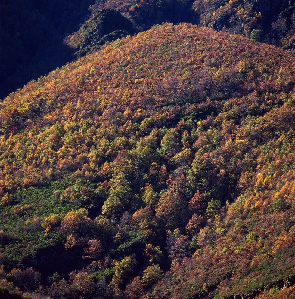
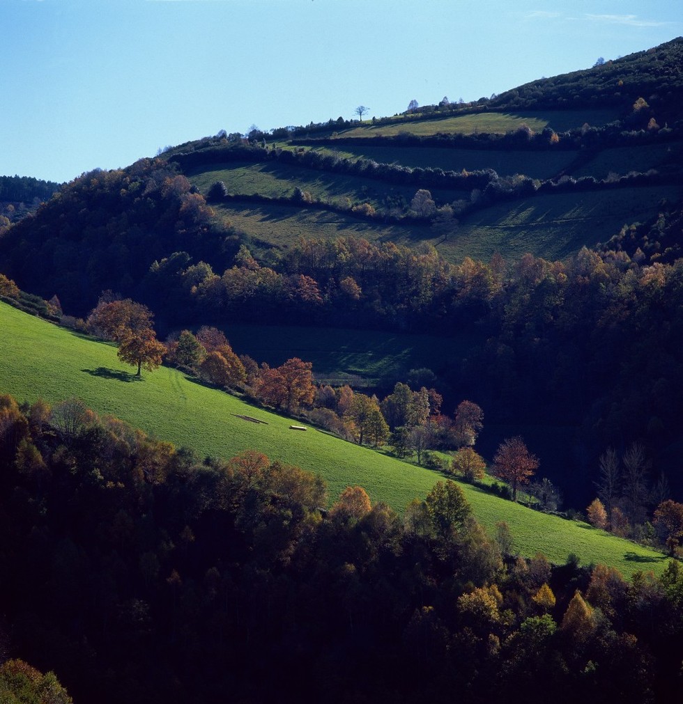
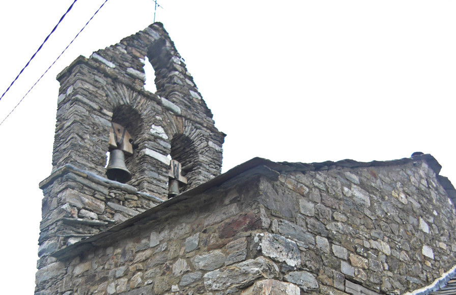
The Galician stage of the French Way begins in O Cebreiro, a village of prehistoric origin situated at an altitude of 1,300 m, between the mountain ranges of O Courel and Os Ancares.
O Cebreiro- Liñares
From the hostel of O Cebreiro two routes can be taken, a path begins at the doorway going up on the right, or the original route, going down to the main highway and following it to Liñares (about 3 km).
O Cebreiro - Liñares
Liñares- Hospital da Condesa
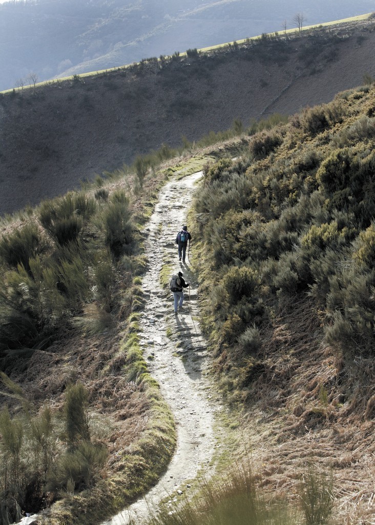
Once in Liñares, the route signposted to the left is taken, going up between the houses to the Romanic church. Then, it is necessary to take the first stony path signposted to the left and begin to go up to Os Ancares. After going up and down a number of steep slopes, the heights of San Roque (1,270 metres) are reached. A statue of a pilgrim scanning the valley can be seen there.
From this point, the signs lead in parallel to the highway up to Hospital da Condesa. The entrance to the town is made on the left then following the diversion on the right. In the village with its outstanding stone paving, there is a hostel.
Liñares - Hospital da Condesa
Hospital da Condesa- Padornelo
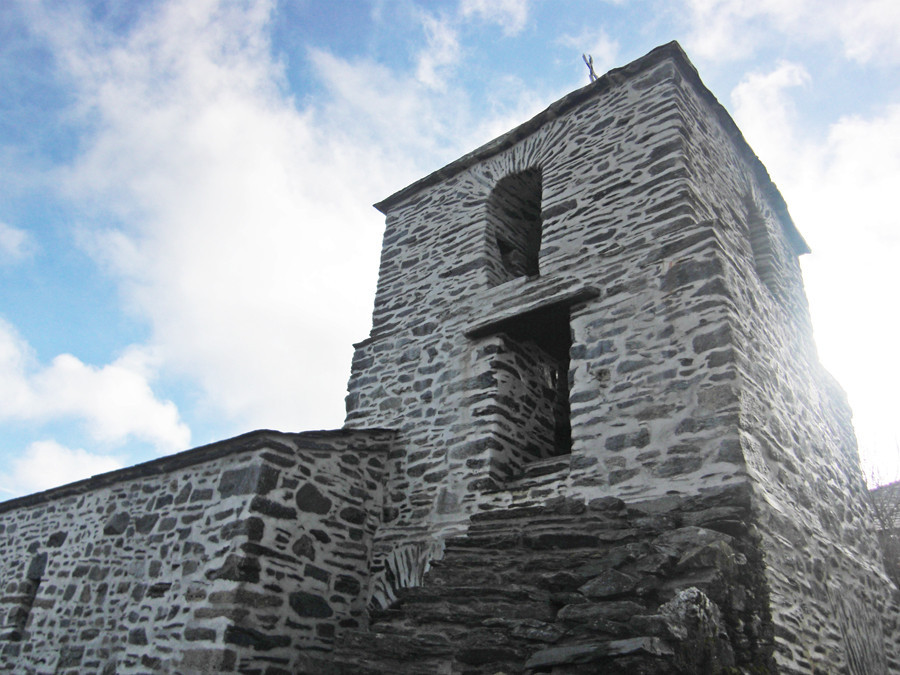
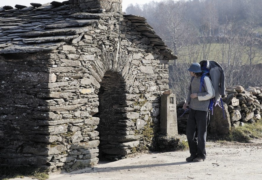
At the exit from Hospital there is a charming church of those which are typical in the area, made of stone in the austere Romanic style. Following the way marked out (continually there appear yellow arrows and every 500 metres there are milestones which indicate the distance to Santiago), the highway is reached and can be walked along the hard shoulder, crossing two small streams before taking a diversion to the right.
The route continues by a semi-asphalted track parallel to the stream. Taking a left turn at a crossing while remaining on the asphalted track, you will enter Padornelo.
Hospital da Condesa - O Padornelo
Padornelo- Fonfría
Once past the church of San Xoán, with its bell tower and fountain, the signs lead to a stone pathway which climbs steeply to the heights of O Poio, the highest point in the French Way (1,337 metres).
From there, it is necessary to continue along the road on the right, taking a parallel pathway which is signposted to Fonfría. You can also take the complementary route in this small section.
O Padornelo - Fonfría
Fonfría- O Biduedo
At the exit from Fonfría the route is divided into three, and it is necessary to continue by the one in the middle, a slate path which ends in the road, just at the start of the municipality of Triacastela.
After a few metres walking on asphalt, the route goes to the right towards a track which crosses the road and continues straight to O Biduedo.
Fonfría - O Biduedo
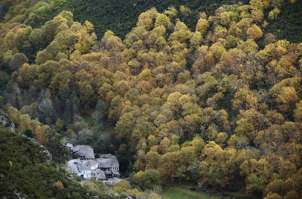
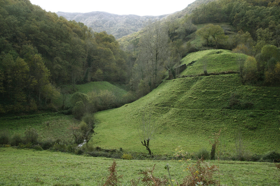
Biduedo- Triacastela
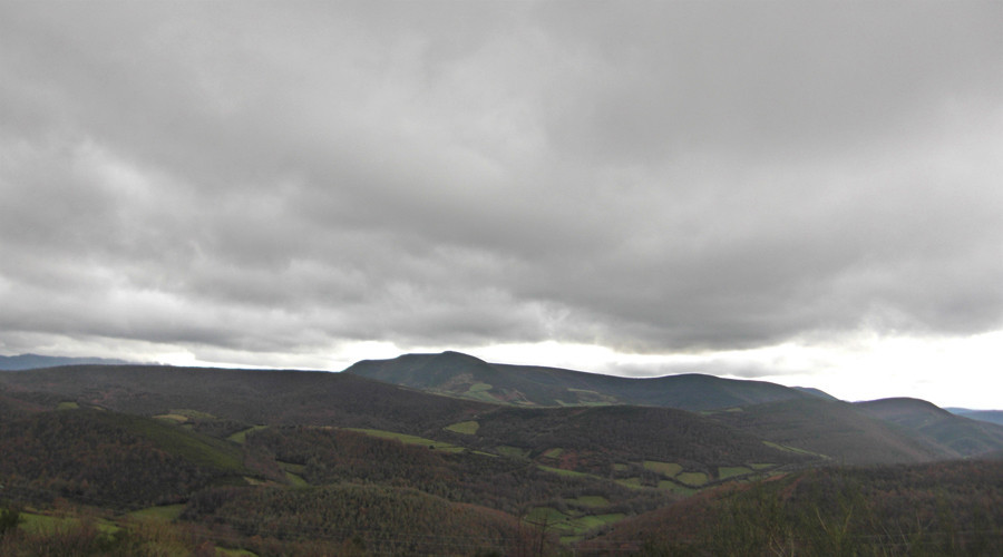
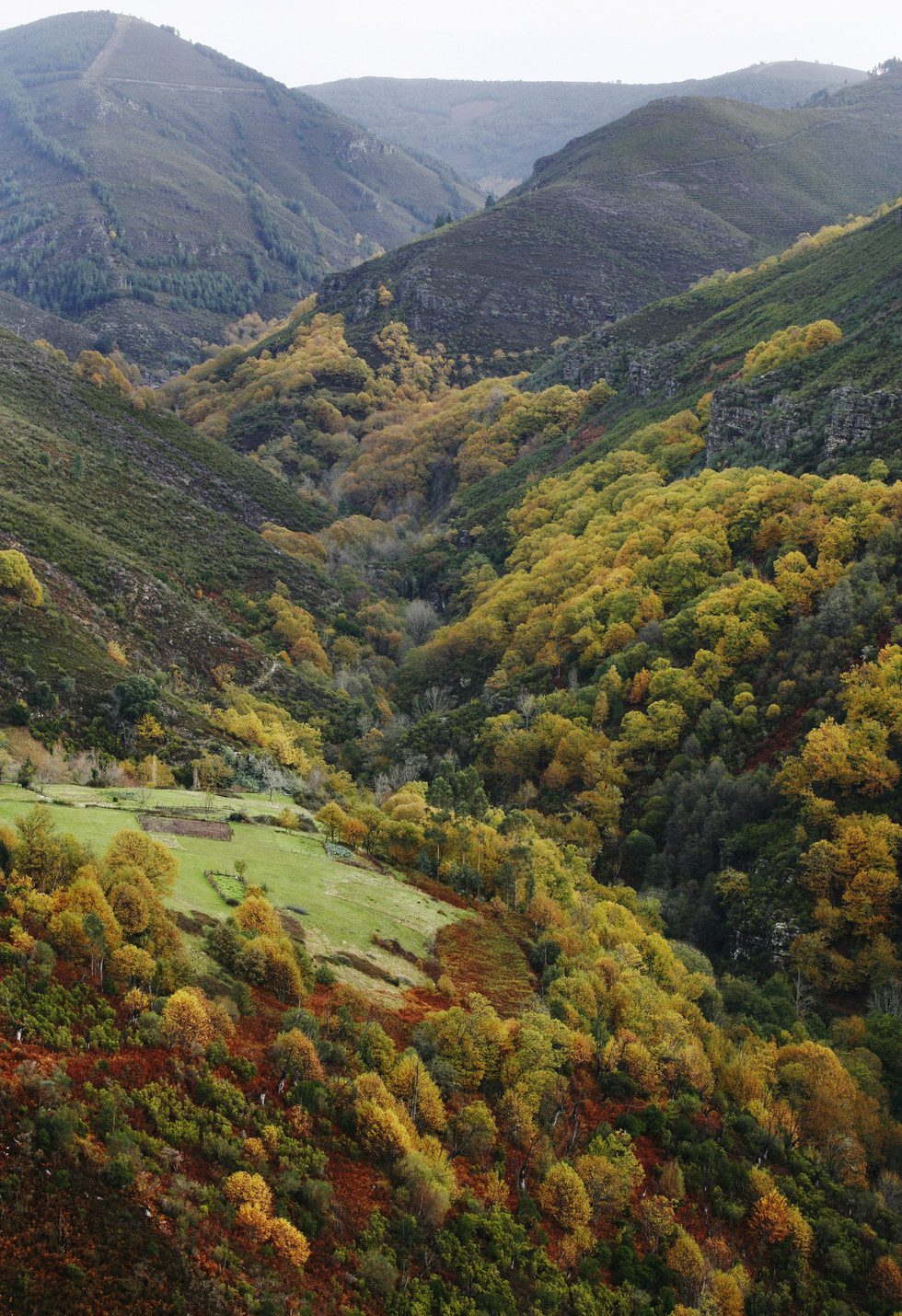
The last stage is downhill. O Biduedo is exited on the left and then the journey continues along a route from where there is a spectacular panoramic view of the mountain range of O Courel and, specifically, Mount Caldeirón.
The route continues going down stony tracks until arriving at the entrance to Fillobal, where it is necessary to turn left and move on following the signs to Pasantes and, from there, to Triacastela and its hostel.