


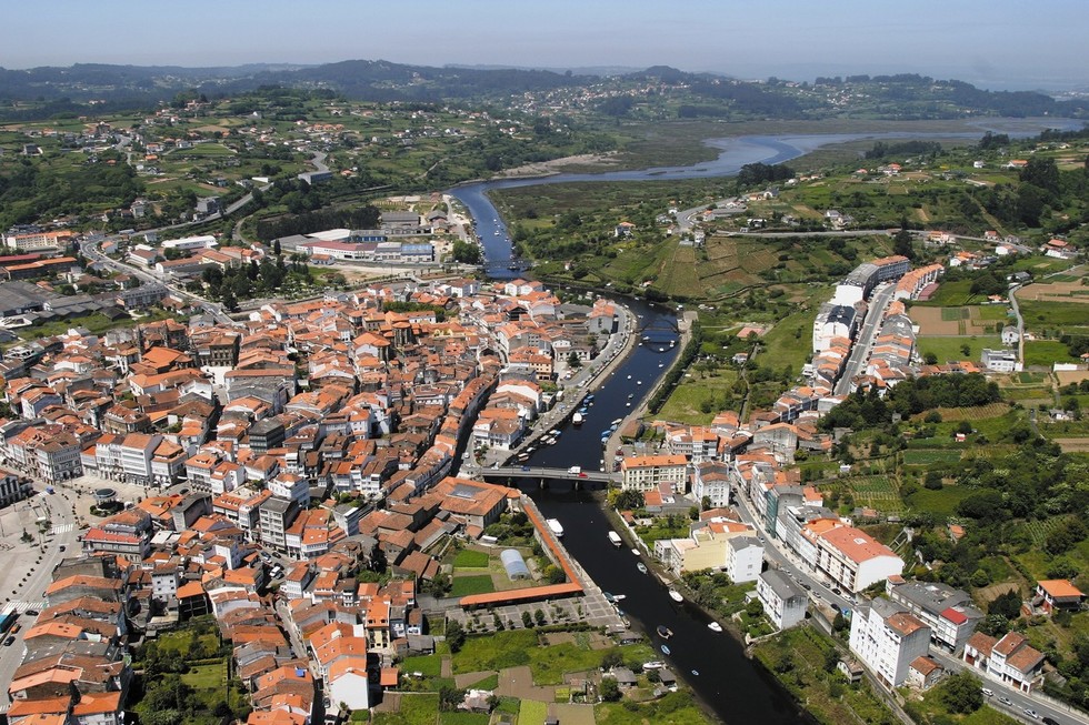
Aerial view of Betanzos
The English Way
Stage: Miño - Bruma
The route crosses a flat area before heading down to Betanzos, offering lovely panoramic views of the Ria of Betanzos and its marshes.
Miño- Betanzos
Take Real Street out of Miño to the train station. Cross the tracks and continue to A Ponte do Porco. We then enter the mountain area, upstream, following the course of the Lambre. The pazo de Montecelo (a country house) and San Pantaión das Viñas Church are nearby. We are now approaching Betanzos, in a stretch, offering lovely panoramic views of the Ria of Betanzos and its marshes. You will pass through the village of Gas, followed by A Rúa, San Martiño de Tiobre and another country house, Pazo de O Barral. The descent continues to O Sabugueiro and then to A Nosa Señora do Camiño Shrine. Cross the Mandeo River via the Ponte Vella (Old Bridge) and enter Betanzos through A Ponte Vella Arch, a remnant of the medieval walls.
Miño - Betanzos
Betanzos- Leiro
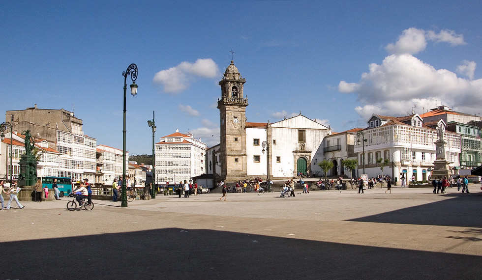
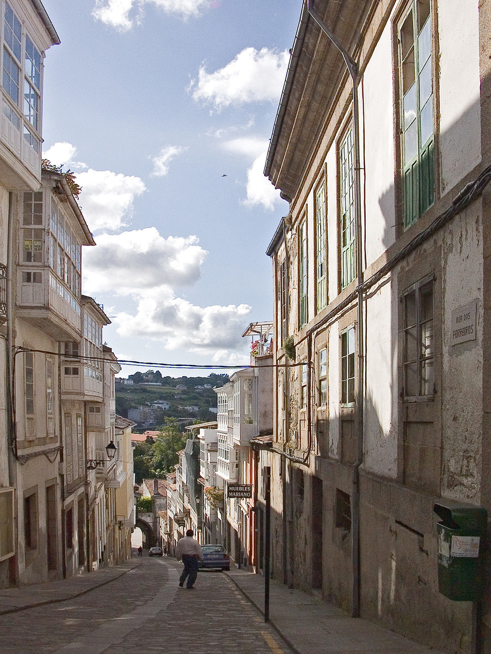
Betanzos was the capital of one of the seven provinces of the ancient Kingdom of Galicia. Today it boasts one of the most iconic historic districts in the autonomous community. Prateiros Street leads to the town centre and Irmáns García Naveira Square. Exit via As Cascas Bridge and continue through O Coto, Campoeiro and Xanrozo to reach the Municipality of Abegondo.
Betanzos - Leiro
Leiro- Bruma
The route passes through the village of Meangos and other population centres such as Francos, Boucello and A Malata. Finally, As Travesas (Carral), where the two alternative routes – Ferrol and A Coruña – meet. In Bruma, where the pilgrim hostel is located (Mesía Town Council), there are traces of the old medieval pilgrim hospital, linked to Santiago Hospital (today, Hostal dos Reis Católicos).