


PR-G 2 ALOIA

In The Way of Saint James
Location
Pontevedra
Tui | O Porriño | Gondomar
Coordinates: 42º 05' 03.5" N - 8º 40' 48.3" W
Coordinates: 42º 08' 30.7" N - 8º 42' 37.0" W
Description
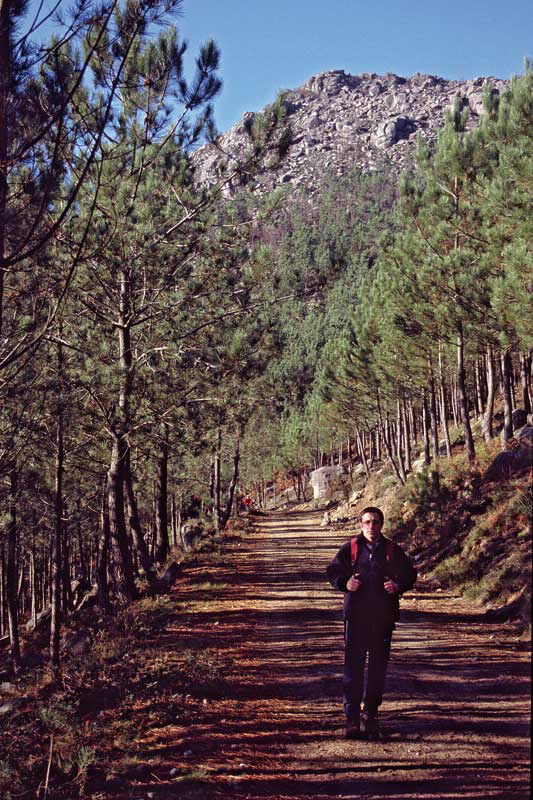
An attractive, easy route that takes us, from north to south, across the hillsides of Serra do Galiñeiro, to finish on Monte Aloia or San Xulián.
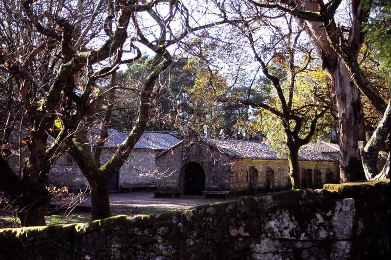
We begin in the mountain refuge hut of Club Montañeiros Celtic, which we can reach via the PR-G 1 and, heading southwards, we cross forests of pines and eucalyptus with beautiful views over Vigo and its ria, the area of Val Miñor and the towns of Baiona and Tui. In route, we come across prehistoric remains and typical rural houses.
In Monte Aloia, declared a Natural Park in 1978, we can see a great variety of tree species, visit the Castro (Celtic fortress) and enjoy some wonderful views over the River Miño and Portugal from the viewpoints.
A plus
MONTE ALOIA
Thanks to its strategic situation, this hill was silent witness to a number of battles in ancient times. Some historians identify it as Mount Medulio. It could be here where, according to legend, the Galicians heroically resisted the Roman invasion, preferring collective suicide to submission or slavery.
Longitude
8.9 km.
Point of Departure / Arrival
Monte Aloia - UTM: 29T X:526590 Y: 4659400
Miguel Regueira Refuge Hut - UTM: 29T X:524060 Y: 4665780
Route
Galiñeiro, Prado and Monte Aloia.
Difficulty
Easy
Duration
3 hours.
Equipment
Take sufficient food.
Services
Miguel Regueira Refuge Hut and Monte Aloia refuge, both of the Club Montañeiros Celtas. Provisions in Prado and Aloia.
M.I.D.E.
Effort M.I.D.E.:
Itinerary M.I.D.E.:
Displacement M.I.D.E.:
Enviroment M.I.D.E.:
Bicycle access
Totally suitable
Horse access
Totally suitable
cartography I.G.N. (1:25:000)
Cartography: Nº 261-I Baiona y 261-II O Porriño.
Further information
Club Montañeiros Celtas
Tel.: 986 438 505
e-mail: info@celtas.net
www.celtas.net
Tel.: 986 438 505
e-mail: info@celtas.net
www.celtas.net
Kind of route
Small travel
Interest
Natural interest
Scenic interest
Access
From the PR-G 1. By road it iseasier to access from the south, going up from Tui to Monte Aloia Natural Park.
The Ways of St. James
Portiguese Route
PR-G 2 ALOIA
cargando mapa...
Download the coordinates of the tourist resource that we present ...
> Click here for help on downloading in different formats Initial pickup date: 01/08/2019