


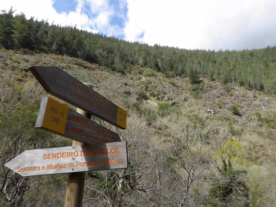
PR-G 140 SENDEIRO DO GALLOL

In The Way of Saint James
Location
A Fonsagrada - Lugo
Coordinates: 43º 13' 16.3" N - 7º 06' 27.5" W
Coordinates: 43º 13' 34.6" N - 7º 05' 04.3" W
Description
This semi-circular trail must be combined with the PR-G 139 in order to return to the starting point, for a total distance of 14.3 km.
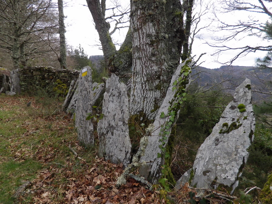
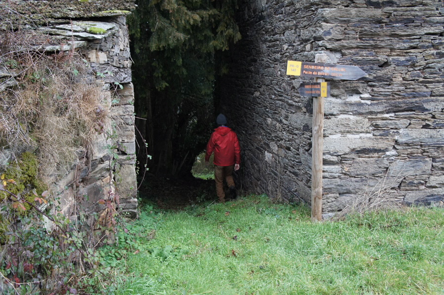
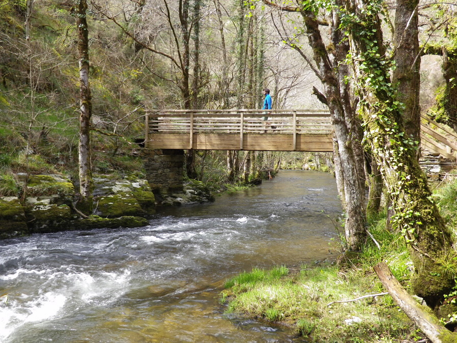
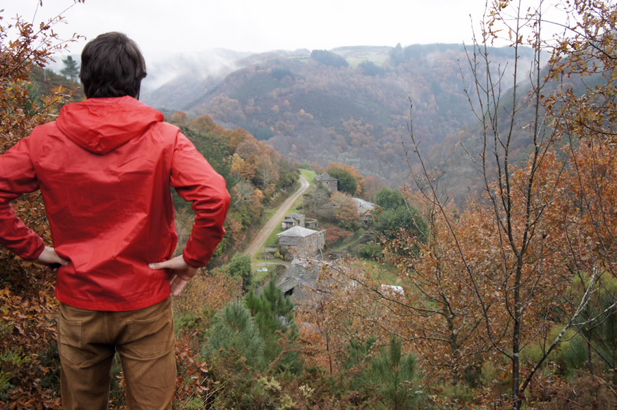
From Lugar de Vilardíaz, the trail descends along the Rodil River valley. The path offers fabulous views, skirting the mountain to Beltrán Bridge, an age-old walkway connecting Vilarxubín and Vilardíaz which has been refurbished to allow hikers to cross. In the deepest part of the valley, chestnut trees provide welcome shade, making the climb up to the village of Vilarxubín more pleasant. In this charming spot, you will find an “hórreo” (raised granary), a common sight in this area.
When you re-enter the forest, you will see a number of “corripas”, small circular or square stone structures used to store and organize chestnuts, a product which was a staple of the local economy and diet.
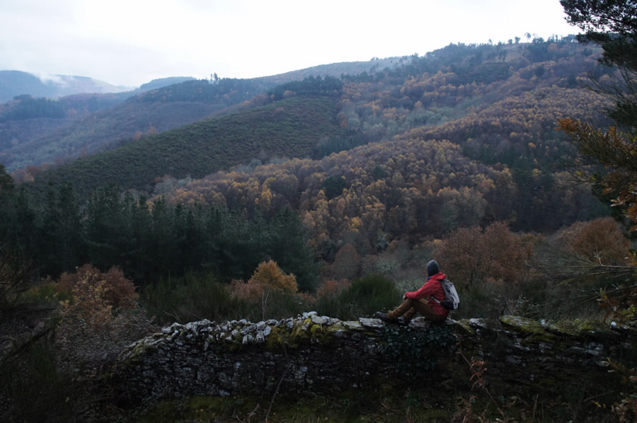
As you continue along the trail, you will pass very close to Lugar de Vilarín do Castelo and then head back down to the river. Before the river, you can make a short trek off the trail to visit the “seimeira” (waterfall) at Parada. Continuing along the main route, you will come to Castro do Castelo, a pre-Roman fortified settlement situated on an unassailable spot between two rivers.
Longitude
11,5 km.
Point of Departure / Arrival
Connection with the PR-G 139 (Concello da Fonsagrada)
UTM: 29T X: 653686 Y: 4787093
UTM: 29T X: 653686 Y: 4787093
Vilardíaz School
UTM: 29T X: 655600 Y: 4787716
UTM: 29T X: 655600 Y: 4787716
Route
Lugar de Vilardíaz, Ponte de Beltrán, Vilarxubín, Corripas de Gallol, Castro do Castelo.
Difficulty
Medium - High
Duration
4 hours and 40 minutes.
Services
In A Fonsagrada.
M.I.D.E.
Effort M.I.D.E.:
Itinerary M.I.D.E.:
Displacement M.I.D.E.:
Enviroment M.I.D.E.:
Bicycle access
Partially suitable
Horse access
Partially suitable
cartography I.G.N. (1:25:000)
Cartography: 49-III Maderne.
Further information
Concello da Fonsagrada
Tel.: 982 340 000
es.afonsagrada.org
Tel.: 626 835 030
xullotaboada@hotmail.com
Kind of route
Small travel
Interest
Ethnography
Natural interest
Scenic interest
Access
The Ways of St. James
The Primitive Camino
PR-G 140 SENDEIRO DO GALLOL
cargando mapa...
Download the coordinates of the tourist resource that we present ...
> Click here for help on downloading in different formats Initial pickup date: 01/08/2019