


PR-G 172 RUTA DO RÍO CHANCA

In The Way of Saint James
Location
Pontevedra
Meis | Meaño
Coordinates: 42º 26' 02.6" N - 8º 46' 57.0" W
Coordinates: 42º 27' 51.1" N - 8º 44' 28.8" W
Description
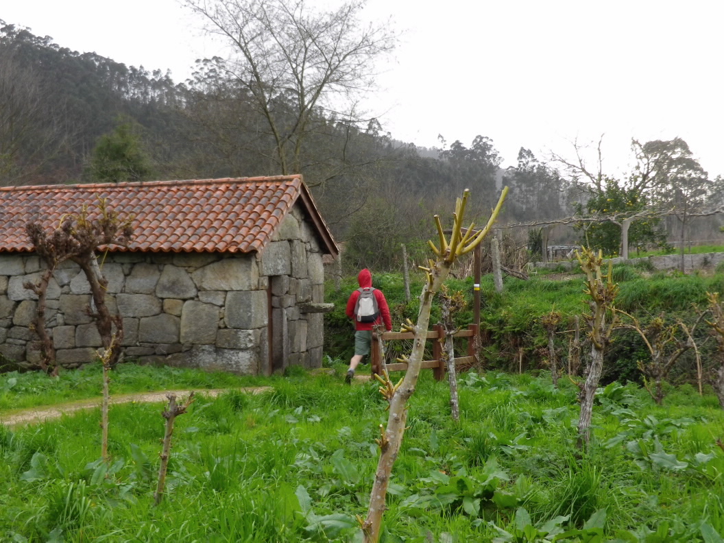
This new trail runs along the western part of the O Salnés district. It climbs from sea level along a gentle, pleasant path, following the course of the Chanca River to A Armenteira Convent.
Along the way you will pass more than 20 mills, some of them completely restored. Inside, you can see how the grain was milled. The mill at O Pontilllón is a unique example. Its cylindrical millpond (the area where the water enters) was constructed using stacked stone rings, a demonstration of the skill of those long-ago “canteiros” (stonemasons).
The first half of the trail is gentle, running through vineyards which extend along both sides of the river in some sections. As you climb, you will enter a wooded area of deciduous trees along the river.
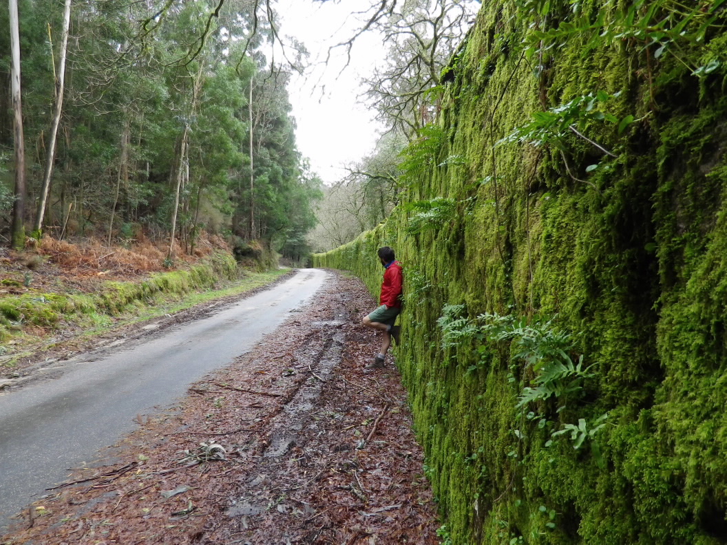
At the end of the route, a fourmetre stone wall will indicate that you have reached the grounds of A Armenteira Monastery. Walk around
the convent to the centre of the village.
Longitude
7 km.
Point of Departure / Arrival
A Armenteira (Concello de Meis) - UTM 29T X:521264 Y:47011349
A Ponte de Caxoi (Concello de Meaño) - UTM 29T X:517889 Y:4797994
Route
A Ponte de Caxoi, Muíños de San Miguel de Lores, Muíños de Sta. María de Simes, Muíño do Pontillón, Lugar de Valboa, Muíños da Buraca, A Armenteira.
Difficulty
Medium
Duration
2 hours and 10 minutes.
Services
In A Armenteira.
M.I.D.E.
Effort M.I.D.E.:
Itinerary M.I.D.E.:
Displacement M.I.D.E.:
Enviroment M.I.D.E.:
Bicycle access
Partially suitable
Horse access
Partially suitable
cartography I.G.N. (1:25:000)
Cartography: 185-I Meaño.
Further information
Concello de Meaño
Tel.: 986 747 102
info@concellodemeano.com
www.concellodemeano.com
Tel.: 986 712 001
correo@meis.gal
www.meis.gal
Deputación de Pontevedra
Tel.: 986 804 100
www.depo.gal
Kind of route
Small travel
Interest
Ethnography
Natural interest
Scenic interest
Access
Lugar de Galiñáns (Meaño), on the PO-9205, next to the bridge across the Chanca River.
The Ways of St. James
The Route of the Sea of Arousa and River Ulla
PR-G 172 RUTA DO RÍO CHANCA
cargando mapa...
Download the coordinates of the tourist resource that we present ...
> Click here for help on downloading in different formats Initial pickup date: 01/08/2019